Royal Gorge Summer Hiking, Biking And More
In the winter, Royal Gorge is a treasured destination for Nordic Skiers, boasting the largest cross-country ski resort in North America. And thanks to the Truckee Donner Land Trust and the community, this beautiful area is now accessible during the summer. Dive into the enchanting Royal Gorge hiking and biking trail networks for a taste of what awaits your adventure.
Magnificent Scenery
California’s Sierra Nevada is a landscape of sharp granite peaks, verdant meadows, and ancient forests where pristine streams converge. Renowned for their panoramic vistas of the Northern Sierra, Royal Gorge’s trails offer unparalleled beauty. As the snow melts, the cross-country routes transform into hiking paths, providing access to the wonders along the 4,417-foot-deep Royal Gorge on the North Fork of the American River. This is a chance for you to experience the untamed majesty of this watershed as the river cascades over cliffs, forming myriad waterfalls and deep pools for exploration.
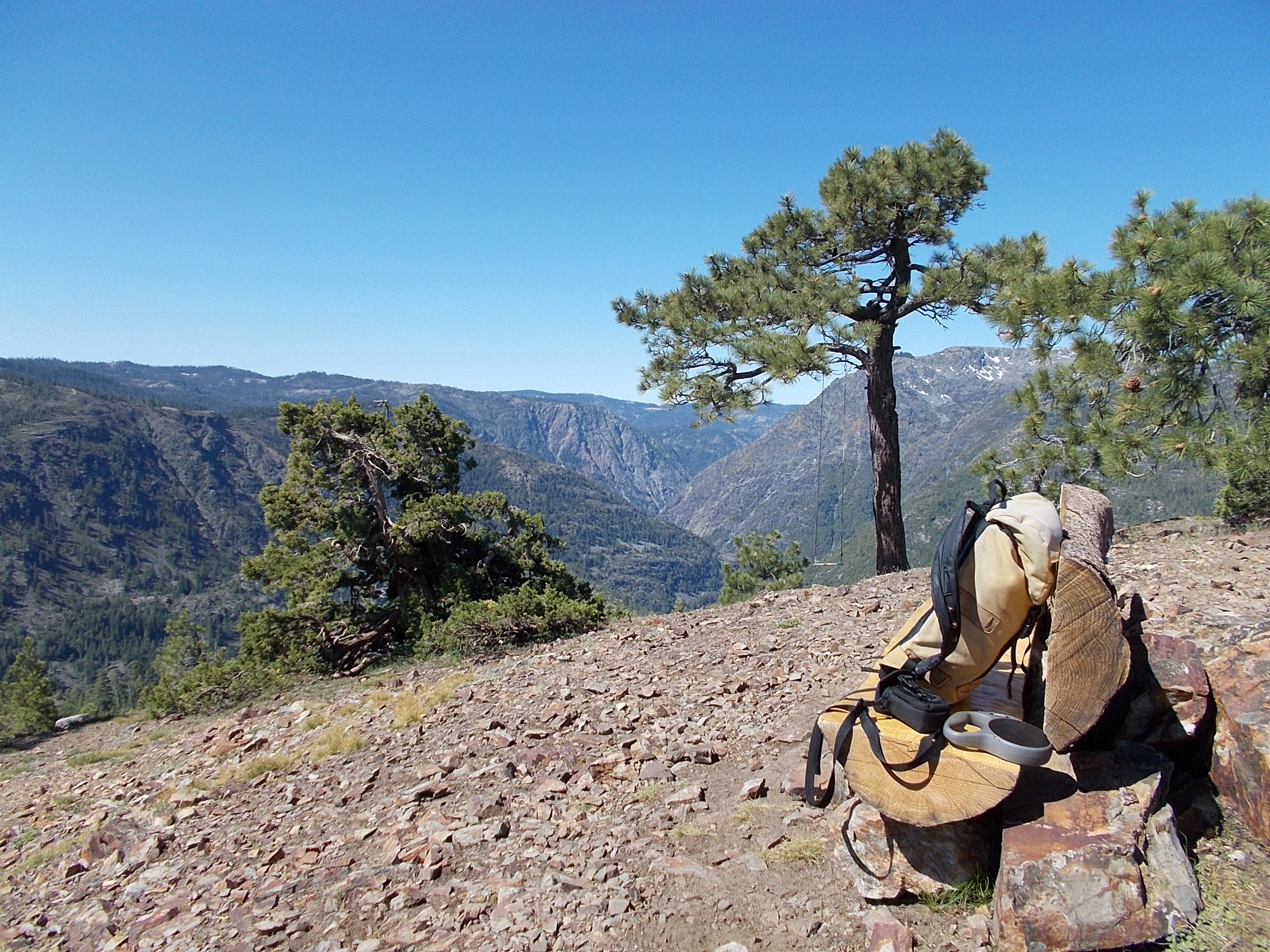
Photo by Dick Simpson
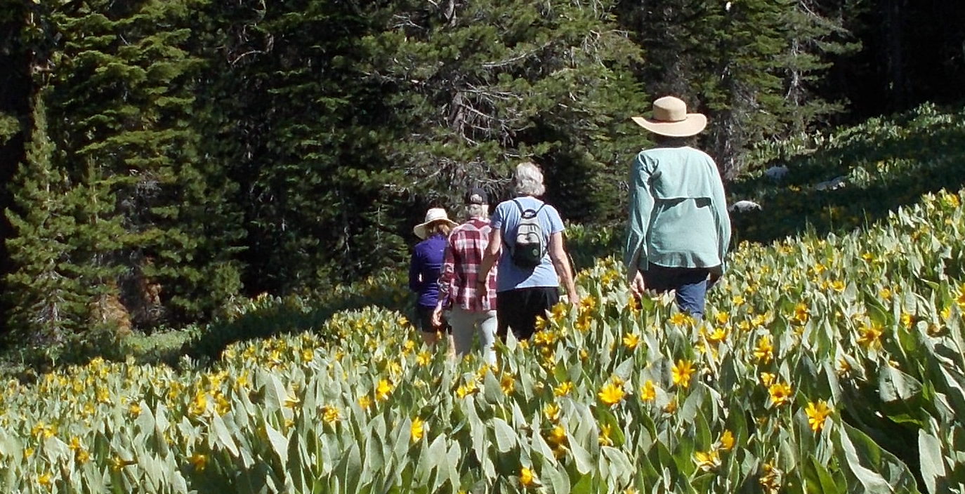
Photo by Dick Simpson
Rich in biodiversity
Nestled within the acreage of Royal Gorge lies Van Norden Meadow. A vast sub-alpine expanse that ranks among the largest north of Yosemite National Park. Teeming with wildlife, including 115 species of butterflies, 16 species of amphibians, 20 species of mammals, and over 100 species of birds, it is a vital ecosystem. Van Norden Meadow serves as the headwaters of the Yuba River, while other Royal Gorge lands feed into the American River, and Donner Summit boundary of the Truckee River watershed. These are crucial water sources for millions of people in California and Nevada.
Highlights Of The Trail Network
Rowton Peak
This moderately strenuous 5-mile out-and-back hike or bike winds through captivating wildflower and bird habitats. You’ll marvel at panoramic vistas of the Pacific Crest and the Granite Chief Wilderness. All while traversing fascinating volcanic geological formations along the way.
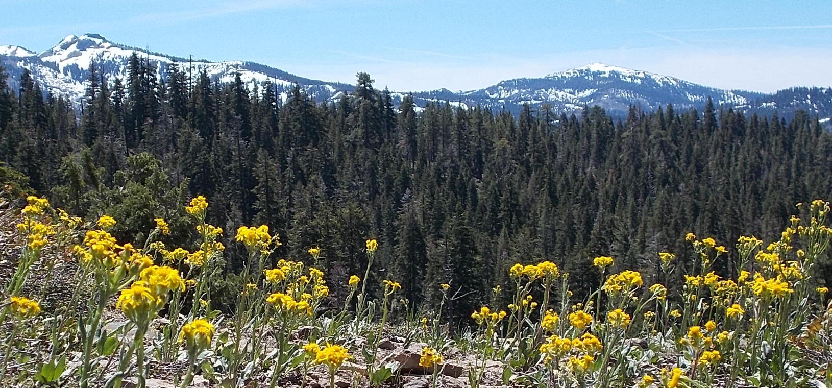
Photo by Dick Simpson
Lyle’s Lookout
A short, three-mile out-and-back hike or bike from Summit Station. You’ll have a chance to behold the awe-inspiring sight of the iconic Devil’s Peak and Snow Mountain.
Royal Gorge Rim Trail
Covering a stretch of 13 miles, this trail seamlessly weaves through Lyle’s, Rowton, and Point Mariah, solidifying its status as one of the top mountain biking routes in the region. Highlights include vibrant wildflowers and views into the headwaters of the American and Yuba rivers.
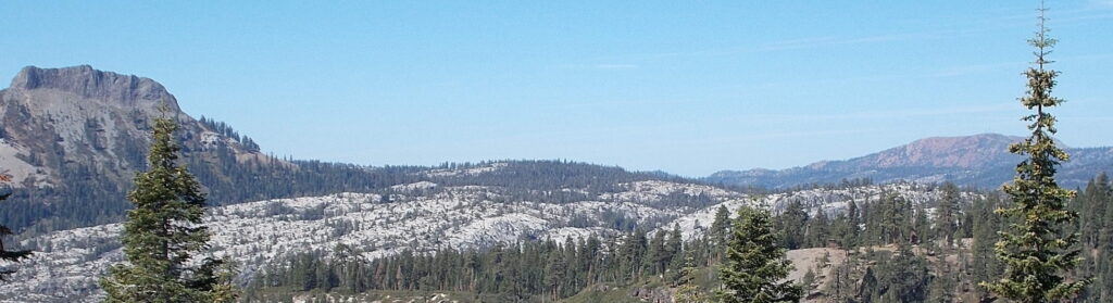
Photo by Dick Simpson
Point Mariah
The highlight of this 5-mile out-and-back moderate route is a breathtaking viewpoint. Staring down 4,000 feet, you’ll gaze into the majestic Royal Gorge of the North Fork of the American River.